Draw the Future
January 12, 2016 UPDATE: The information below is preserved for archive purposes. The districting process is now complete.
UPDATE 11/18/2015: An Excel kit for drawing a 5-district map has been added below.
This is your chance to shape Buena Park's future by drawing your own map of proposed Council Districts. Every plan submitted in time (the specific date has not been set yet) will be posted online for public review and considered for adoption by the City Council.
You can use the "One-Page Map" to draw a plan that follows the borders you think work best, with equal populations in each district.
Or use the "Detailed Kit" to review the specific race and ethnic data for each "Population Unit" of geography before deciding in which district to place it.
And, if you are comfortable using Microsoft Excel, use the "Excel Kit" together with the map of population units in the "Detailed Kit" to have Microsoft Excel calculate the population and demographics of each district as you draw them.
Draw a plan of four districts covering the entire City. Or just draw the one district you think works best for your neighborhood. The City Council welcomes and encourages whatever you wish to submit.
While the kits and supplementary maps below can be useful tools, you do not have to use them. Feel free to draw your proposed district(s) on any handy map, or just sketch them on a piece of paper -- we appreciate whatever you wish to submit.
Public Participation Kits
(Click on the title to download the kit that you want to use.)
This detailed map in Adobe PDF format is designed for printing on 11x17" paper, but works 8.5x11" too.
Detailed Kit [criteria and data sheets updated 7/29/2015]
Use as much, or as little, of this Adobe PDF format, information-rich packet as you find useful. The packet contains the following:
- a page of instructions
- a list of the districting criteria for drawing and selecting plans
- a demographic profile of the City
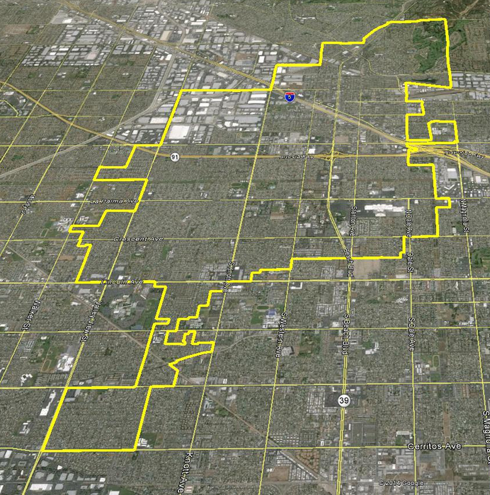
- a map of "Population Units" of geography and the total population count for each Unit.
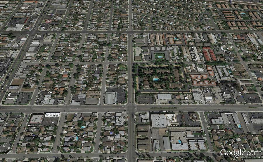
- a map of key street names and landmarks in the City
- a map of "Population Unit" identification numbers for use with the demographic data included and/or with the Microsoft Excel kit
- a table of detailed demographic data for each Population Unit
- three blank Population Unit maps that you can use to draw and submit your proposed plan(s)
Excel Kit for 4-district map (Click and then save the file to your own computer)
[data updated 7/29/2015]
NEW!: Excel Kit for 5-district map (Click and then save the file to your own computer) [posted 11/18/2015]
Designed to be used with the map of Population Unit identification numbers in the Detailed Kit, this Microsoft Excel file will add up the demographic data for each proposed district. The user need only enter the desired district assignment for each Population Unit.
This kit greatly simplifies the math of drawing plans for users already familiar with Microsoft Excel, but anyone unfamiliar with Microsoft Excel can still draw plans with the One-Page or Detailed kits.
Demographic maps for those interested in them:
- Asian-American Citizen Voting Age Population
- Latino Citizen Voting Age Population
- Non-Hispanic White Citizen Voting Age Population
- English Spoken Less than "Very Well"
- Household Annual Income over/under $50,000
- Councilmember locations (by Census Block & Population Unit)
- 2010 Council election voter dropoff
- 2012 Council election voter dropoff
- 2010 Winning candidate by precinct
- 2012 Winning candidate by precinct
- 2010 Candidate Gonzalez rank by precinct
- 2012 Candidate Gonzalez rank by precinct
- 2010 Candidate Gonzalez percent of the vote by precinct
- 2012 Candidate Gonzalez percent of the vote by precinct
- {Contact NDC if there are other maps you would like to see}
Questions about using the kits?
For any questions about using the kits, contact Douglas Johnson or Justin Levitt from NDC: PO Box 5271, Glendale, CA 91221; phone: 310-200-2058; fax: (818) 254-1221; E-Mail: djohnson@NDCresearch.com.
Send in your Proposal!
Submit your proposal to NDC (see above) or to the City Clerk:
6650 Beach Boulevard, First Floor, Buena Park, CA 90622; phone: (714) 562-3754; Fax: (714) 562-3506; E-mail: stilton@buenapark.com.